You buy a Keys home for the water, so the first question is simple: can your boat get in and out easily and safely? If you are eyeing White Marlin Beach on Lower Matecumbe Key, you want clear answers on channels, depths, bridge clearances and where you can anchor. You also want to understand the local swim zone and how tides shape your plan. In this guide, you will find practical, source-backed details to help you match your boat to this neighborhood and plan smooth transits. Let’s dive in.
White Marlin Beach at a glance
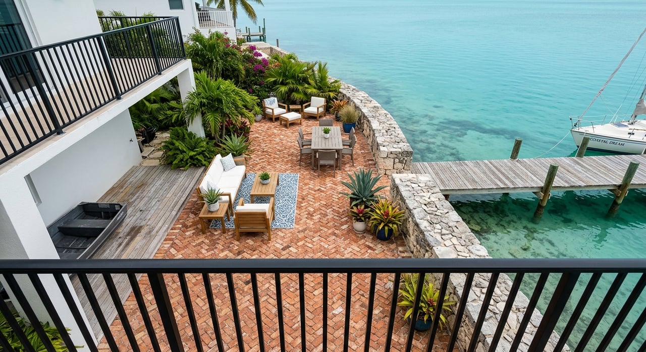
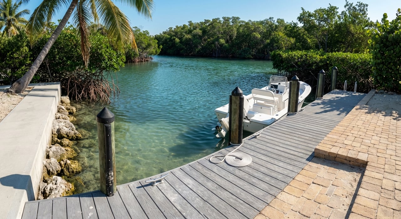
White Marlin Beach sits on the bay side of Lower Matecumbe Key around Mile Marker 74.5. The canalfront community is often associated with Port Antigua and features a private bayside sand and beach area for residents. For a quick neighborhood overview and location context, see this concise profile of White Marlin in Islamorada.
On the water, two sandbar scenes shape local boating. The busy Whale Harbor sandbar is on the ocean side near MM 84, while a quieter, shallower Port Antigua or White Marlin sandbar sits bayside off Lower Matecumbe. These flats shift with tide and weather and commonly run just inches to a few feet deep, so you should expect to wade, not cruise, on the flats themselves as highlighted in this Islamorada sandbar guide.
Your primary boat routes
From White Marlin’s bayside canals, you enter Florida Bay and follow marked channels that connect toward Hawk Channel on the Atlantic. The most direct ocean routes for many owners here use the Channel Two and Channel Five complex. Alternatives to the north include Snake Creek and Whale Harbor Channel, though Channel Two and Five are typically the shorter options from Lower Matecumbe. These routes and their general characteristics are discussed in the U.S. Coast Pilot for the Keys, summarized in this Coast Pilot excerpt.
Stay in the markers
Channels in this area are narrow with shoals and seagrass on the edges. Follow the local buoys and daybeacons and use current NOAA charts or a reputable chart app. Plan conservatively across shallow flats and pair electronic charts with local knowledge for best results. The Islamorada sandbar overview also reinforces how shallow zones shift with tide.
Bridges and air draft
Your tower or hardtop matters in Islamorada. The Snake Creek drawbridge, a common northern routing point, has a closed vertical clearance of about 27 feet and opens on signal under Coast Guard regulations, as noted by Cruisers’ Net bridge guidance. Several fixed highway or pedestrian spans elsewhere can be much lower, with reported clearances in places around 11 to 12 feet per the Coast Pilot commentary. If your air draft exceeds local fixed clearances, plan for Snake Creek openings or route adjustments and confirm operations before you depart.
Depths, sandbars and tides
Historical controlling depths to know
Published controlling depths in this reach of the Keys are modest and vary by location and year. The Coast Pilot has historically noted Channel Two with a reported controlling depth near 8 feet, Channel Five and routes to Hawk Channel ranging roughly 3 to 7 feet, and the Matecumbe Harbor entrance around 5 feet in older surveys. Depths change with shoaling, dredging and storms, so treat these as context only and verify with current charts and local updates. You can review those historical notes in the Coast Pilot excerpt.
Sandbar reality near White Marlin
The Port Antigua or White Marlin sandbar is shallow. Expect near zero to about 3 feet depending on tide, which means larger-draft boats cannot anchor on the flats. If you visit by boat, stay in the marked channels or anchor only in deeper pockets of sandy bottom. The Islamorada sandbar guide provides useful depth context for wading areas.
Tide timing matters
Tidal range and local datum will determine whether a charted sounding works for your draft at the moment you transit. Check a local NOAA tide station before you go and build in under-keel safety margin. The Lower Matecumbe area has NOAA benchmarks and tide data you can use, such as the station information linked here: NOAA tidal benchmarks and tables. When in doubt, plan critical skinny sections at higher water.
Swim zones, anchoring rules and etiquette
Local regulations directly affect where you can anchor or approach the shoreline off White Marlin Beach. The Village of Islamorada adopted a vessel exclusion and swim area off Port Antigua in 2020 in response to crowding. In early 2024, the Village amended the area to show a 25-foot-wide channel so property owners can access docks while most vessels remain outside the designated swim zone. For context on the rulemaking and enforcement, see this WLRN report on the Islamorada vessel exclusion, and consult the Village’s official ordinance exhibit and map for the swim zone for boundaries.
Environmental stewardship is part of boating here. The Florida Keys National Marine Sanctuary stresses that seagrass beds around the Keys are highly vulnerable to prop and anchor damage. Avoid anchoring in seagrass, use sandy patches or mooring buoys where available, and obey any sanctuary or no-anchoring zones shown on your charts. For a quick primer on shallow-water protection, review the Sanctuary’s guidance on protecting seagrass and shallow habitats.
Expect active enforcement around the swim zone markers off Port Antigua and White Marlin. Large raft-ups near the private shoreline have been a past focus for restrictions, so plan your day accordingly. Keep music and wakes low near residences, give swim buoys a wide berth, and move to permitted areas for anchoring and socializing.
A practical boater checklist
Use this pre-departure checklist when boating from White Marlin Beach:
- Charts and notices: Review current NOAA raster or ENC coverage for the Lower Matecumbe area, including Chart 11449 and 11451, and scan recent Notices to Mariners for any shoaling or aid changes. The Coast Pilot excerpt is a helpful companion for local context.
- Tides and timing: Confirm tide predictions for your exact transit window using a local NOAA tide station and add a conservative under-keel margin. Plan skinny sections on a rising or higher tide when feasible. Use NOAA tidal benchmarks and tables as your reference.
- Draft planning: If your vessel draws more than about 4 to 6 feet, verify controlling depths and current soundings for your chosen route before committing. Expect areas with historical controlling depths in the single digits and consider Channel Two or Five based on your draft and tide.
- Air draft planning: If your air draft exceeds about 12 to 15 feet, review every bridge on your route. Many inner fixed spans are low, while Snake Creek’s drawbridge can open for taller boats. See bridge operations guidance for the Keys.
- Swim zone boundaries: Respect the vessel exclusion and swim area off Port Antigua and White Marlin. Do not anchor inside the zone or cross swim buoys except where permitted. Refer to the Village’s swim zone exhibit for the precise layout.
- Seagrass protection: Anchor only in sandy patches, use mooring buoys where available, and avoid creating prop scars in shallow grass. The Sanctuary’s shallow-water protection page explains why this matters.
- Contingency planning: Identify nearest marinas for fuel or pump-out and save towing contacts before you leave the dock. If you touch bottom, stay with the vessel if safe and contact local authorities or marinas for assistance, since habitat damage may require reporting.
Is White Marlin Beach right for your boat?
If you want canal convenience on the bay side with quick access to the ocean, White Marlin Beach delivers. From these canals, you are positioned for short runs to Channel Two and Channel Five, with Snake Creek available to the north if your air draft or conditions dictate. Historically reported controlling depths in the wider area often range from roughly 3 to 8 feet, so your workable window depends on your draft, tide, and exact track. Plan your routes with current charts, verify depths, and you can enjoy efficient access to both Florida Bay and Hawk Channel.
When you are evaluating a property here, look beyond dock length and power. Consider your boat’s draft and height, the route you will favor most days, the timing of your departures with tides, and how the local swim zone shapes your shoreline use. With the right match and a little planning, White Marlin Beach can be a smooth home base for your Islamorada boating life.
Ready to pair the right home with the right water access? Tap into local, maritime-grounded guidance and a concierge approach to the buying process. Connect with The Florida Keys Sold Sisters to align your property search with your boat, your routes, and your lifestyle.
FAQs
What are the main channels from White Marlin Beach to the ocean?
- From White Marlin’s bayside canals, most owners use the marked routes toward Channel Two and Channel Five for the shortest ocean access, with Snake Creek and Whale Harbor as northern alternatives per the Coast Pilot overview.
What bridge clearances impact routes near Lower Matecumbe Key?
- Snake Creek’s drawbridge has about 27 feet of closed clearance and opens on signal, while some fixed inner spans elsewhere can be as low as roughly 11 to 12 feet, based on Cruisers’ Net bridge guidance and the Coast Pilot excerpt.
How shallow is the Port Antigua or White Marlin sandbar?
- Expect near zero to around 3 feet depending on tide, so larger-draft boats should stay in marked channels or deeper sandy pockets, as noted in this Islamorada sandbar guide.
Can you anchor off White Marlin Beach?
- You must remain outside the designated vessel exclusion and swim area off Port Antigua and White Marlin; consult the Village’s official swim zone exhibit for exact boundaries.
Which tide resources should you use when planning transits in 33036?
- Use NOAA tide tables and benchmarked local stations for timing and under-keel margin decisions; start with the area’s NOAA tidal benchmarks and tables.
If my boat draws 6 feet, can I get out from White Marlin canals?
- Possibly, but you must confirm current soundings and plan around tide, since historical controlling depths in nearby routes have been reported in the single digits; verify details with charts and local updates per the Coast Pilot excerpt.